City and Q Inc. Collaborate on Lake Dredging Evaluation
February 25, 2026
The City of Lake Quivira is joining with Quivira Inc., to explore options and funding sources to dredge portions of the lake. Dredging rejuvenates lakes and waterways by removing accumulated sediment, muck, and organic debris from the bottom of the lake to restore depth, improve water quality, and manage vegetation. A subcommittee of Q Inc.'s Lake & Residential Committee has joined with the Fishing Club to spearhead this effort to evaluate options and to document and address extensive silting of the lake, silt ponds and creeks emptying into the lake.
During its February 2026 meeting, the City Council agreed to sponsor the submission of grant applications to the Kansas Water Office, the state's water planning, policy, coordination and marketing agency, to fund dredging remediation. The grant applications require documentation related to lake depths and silting progression and bids for remediation. As a first step, on February 10 the Lake & Residential Committee approved submitting a request to the Q Inc. Board of Directors for $15,000 to complete a bathymetric mapping of the entire lake and silt basins. The Q Inc. Board approved this request at its monthly meeting on February 23.
The City invites residents to monitor progress on its website. Click on this link to access a repository of documents related to the dredging activities and the grant submission.
Brief History and Current Status: Historical records document a lake depth of 60-70 feet near the dam when the lake was constructed in 1920s (Quivira Development Company document detailing construction of Lake Quivira, chapter V).
- Lake Quivira has addressed silting over the years but has not dredged portions of the lake since the 1980s.
- A bathymetric mapping (sonar) study completed in 2016 documents that the deepest depth of the lake was 47 feet near the dam with an average lake depth of 16.9 feet.
While not documented, we can visually discern that our coves are becoming progressively shallower as silt and debris filter in from several upstream sources. The south end of the lake (around Treasure Island) and the cove at the base of the #12 green have become particularly shallow. In addition, our runoff ponds at the south end and within the golf course are filled with debris and require dredging.
Next Steps/Schedule: Here is a schedule of next steps to prepare the grant applications:
- March- April – Vendor executes the biomapping study.
- May – Secure bids from vendors for silt removal.
- June/July – Prepare and submit grant applications on behalf of the City of Lake Quivira.
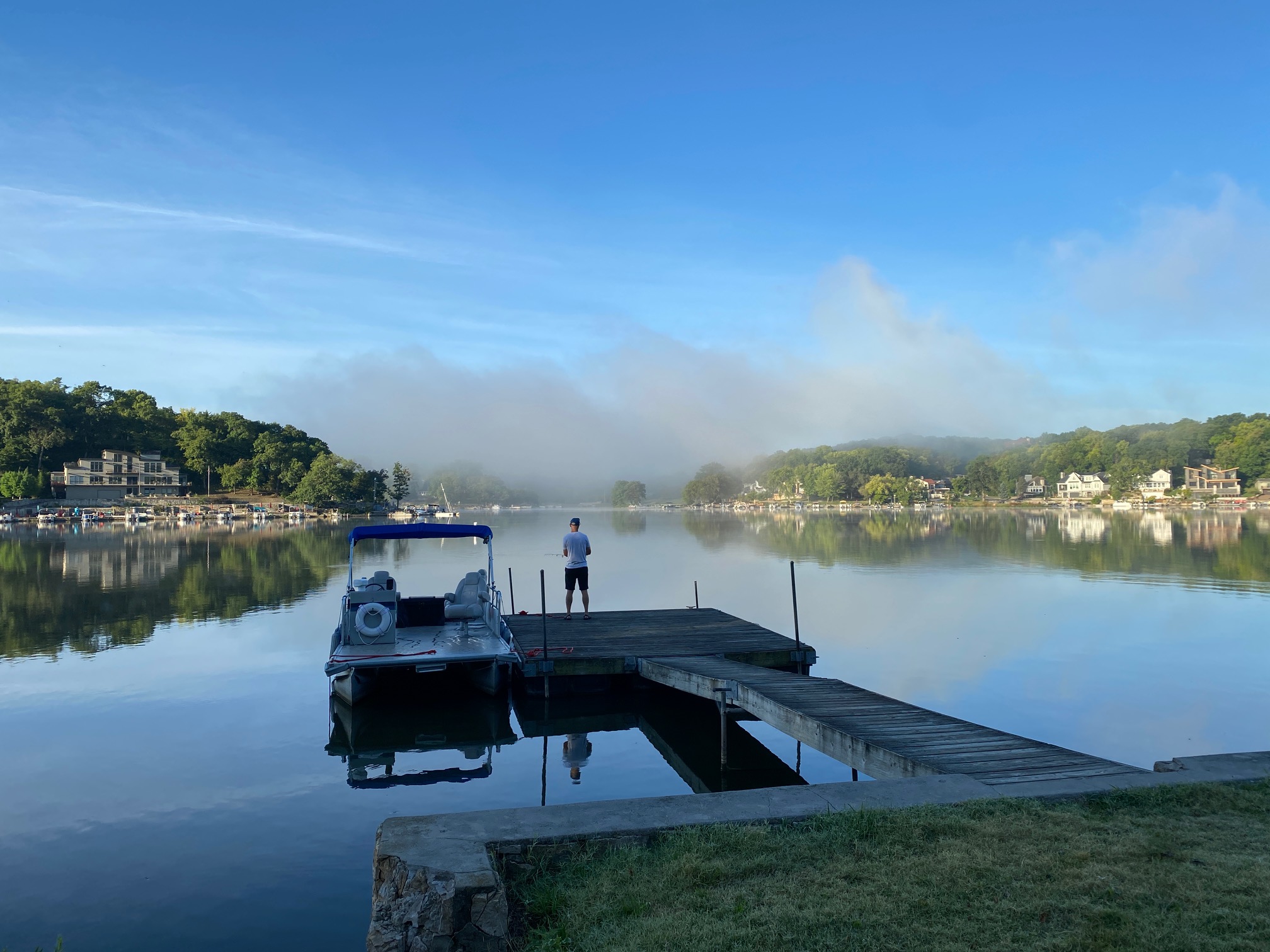
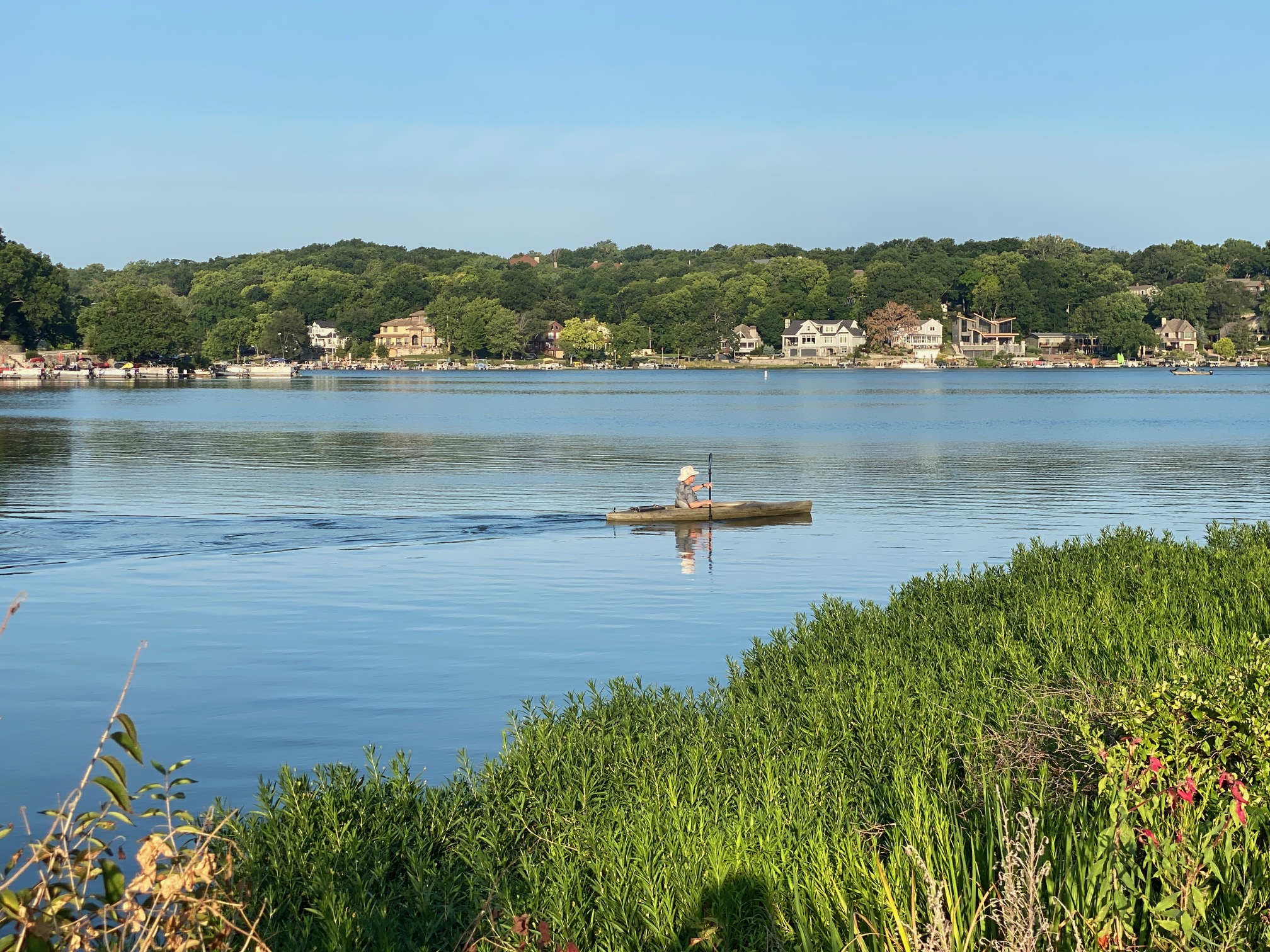
Story images (click images for gallery view)